Our Service Solutions

We uphold a commitment to cooperation and the best quality of services in providing solutions to customer mapping needs.

Our Services

Services And Customized Solutions To Ensure Your Market Success

Topography Mapping

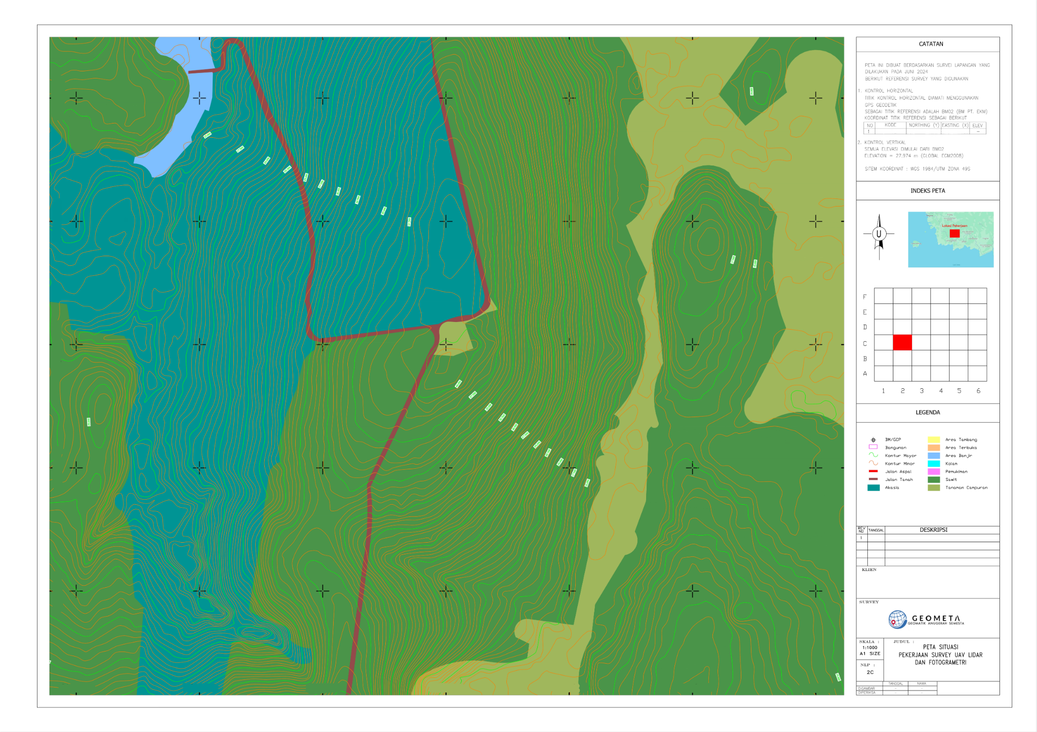
We provide solutions for Topographic mapping needs for the collection of data about the shape and features of the land surface, including slopes, rivers, and other geographical elements. Aims to create maps or digital models that depict details and contours of the land surface with high accuracy. Used in various applications, such as building planning and design, construction, area mapping, natural resource management, and hydrological analysis.

Photogrametry Mapping

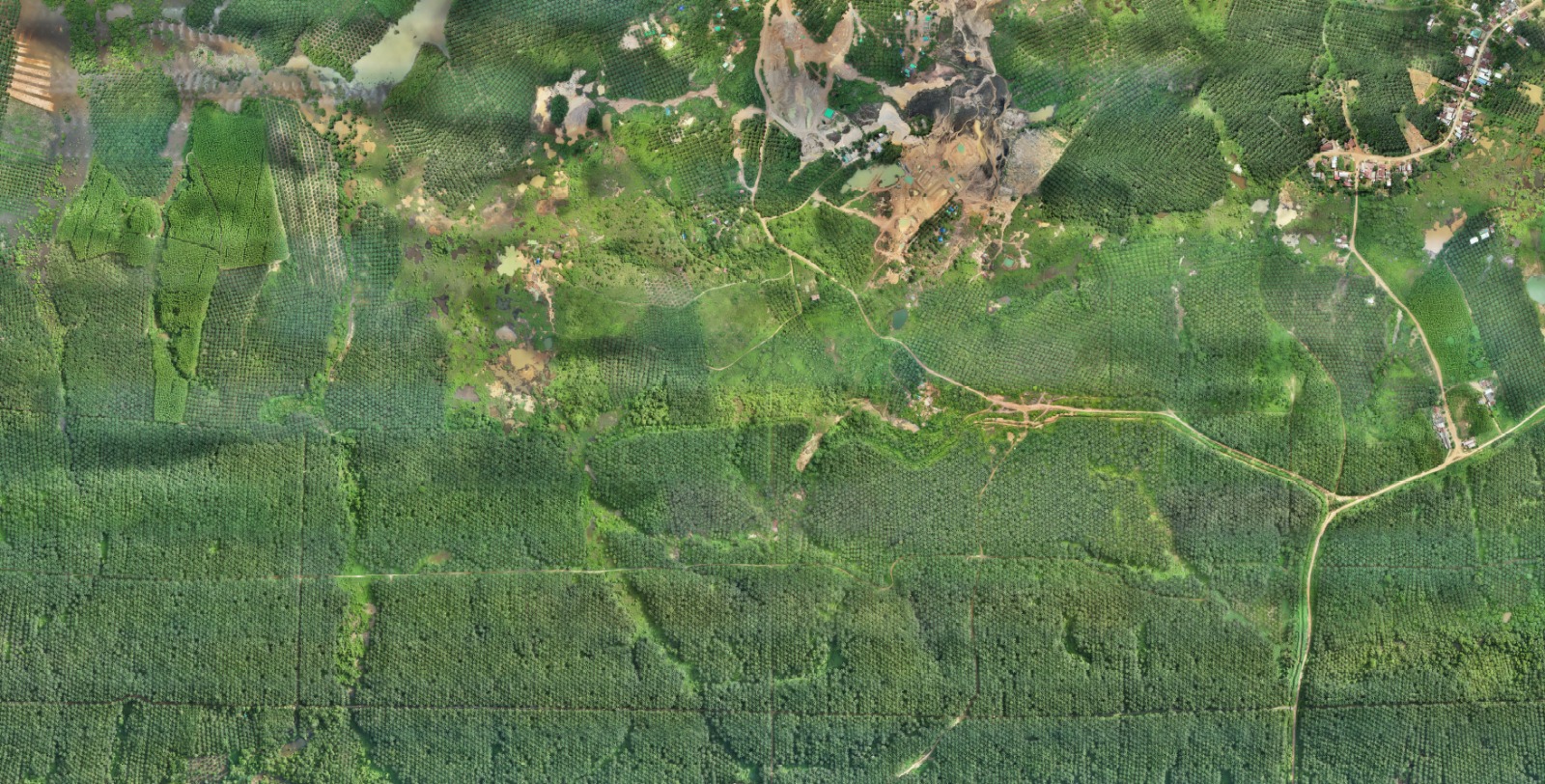
We provide solutions for aerial mapping needs for geospatial data collection using aircraft or drones that aim to create maps or models of the earth’s surface using photogrammetric mapping technology so as to cover large areas quickly and produce data with high resolution, as well as a wider range of information.

LIDAR Mapping

We provide solutions for LiDAR (Light Detection and Ranging) mapping needs for geospatial data collection using laser light pulse transmitting and receiving technology that aims to create maps or models of the earth’s surface with a high level of detail and accuracy for topographic mapping, vegetation mapping, 3D modeling, land change monitoring, and other applications. LiDAR mapping has the advantage of a relatively short time to produce data with a high level of detail and good spatial accuracy even with a large area mapping coverage.

Laser Scanning Survey

We provide solutions for mapping needs with laser scanners for geospatial data collection using laser pulse transmitter and receiver technology to create 3D digital maps or models that can be created by implementing BIM with a very high level of detail. This tool can be used in various fields such as construction, architecture, engineering, archaeological research, and embankment volume measurement.

Hydrography Mapping

We provide solutions to hydrographic mapping needs for data collection of features and characteristics of aquatic environments, such as rivers, lakes, seas and seabeds. Aiming to produce accurate topographic maps of bottom depth and water depth and associated geographical features.

Web GIS, Big Data Management, & Satellite Imagery

We provide Web GIS (Geographic Information System) solutions to provide online access and visualization of geospatial data. Users can access and use geospatial data for various purposes such as planning, decision making, monitoring, and business analysis and development.
One of the most common products of GIS is maps. Maps are generally easy to create using GIS and they are often the most effective way to communicate the results of a GIS process. Therefore, GIS is usually a prolific producer of maps. GIS users should be concerned with the quality of the maps produced because GIS usually does not govern general cartographic principles. One of these principles is the concept of generalization, which deals with the content and detail of information at various scales.

Request for Quotation

Please enable JavaScript in your browser to complete this form.

Office

Menara 165, Lantai 3, Jl. TB. Simatupang Kav. 1, RT.3/RW.3, Cilandak Timur, Pasar Minggu, Jakarta Selatan, Daerah Khusus Ibukota Jakarta 12560

Call Us

For IoT Solutions: +62811 1300 4220
For Geospatial Solutions: +62812 8030 8333