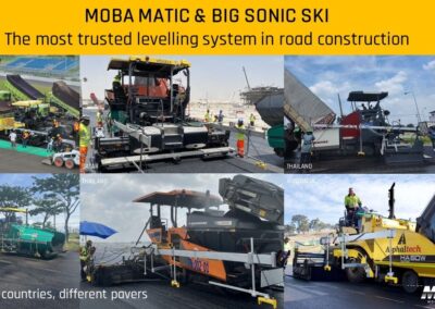
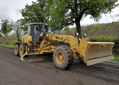
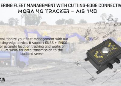
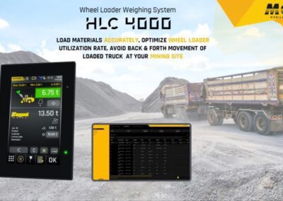
Our Gallery
Why Choose Us
PT Geomatik Anugerah Semesta (Geometa) was founded based on the dreams of the founders to be a solution in facilitating customers’ work related to the Internet of Things (IoT) and geospatial, as well as taking a role in being part of the progress of the nation and state, towards a Golden Indonesia 2045.
Professional
Best Quality
Customer Satisfaction
Trustworthy and Reliable
Commitment and Integrity
FAQ
Frequently Asked Questions
How can the accuracy of a photogrammetric survey produce contours?
The accuracy of the photogrammetric survey depends on the camera used, the flying height, and the land cover of the surveyed area. The results that can be provided have good accuracy up to cm and good quality with GSD <5cm (depending on user request).
What is the function of lidar surveys? When do lidar surveys need to be conducted?
Can the results of a photogrammetric survey produce contours?
What are the functions of lidar results?
Request for Quotation
Office
Call Us
For IoT Solutions: +62811 1300 4220
For Geospatial Solutions: +62812 8030 8333
